
Support of District Fire Department with Processing Capabilities and Drones
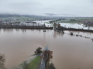
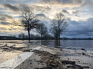
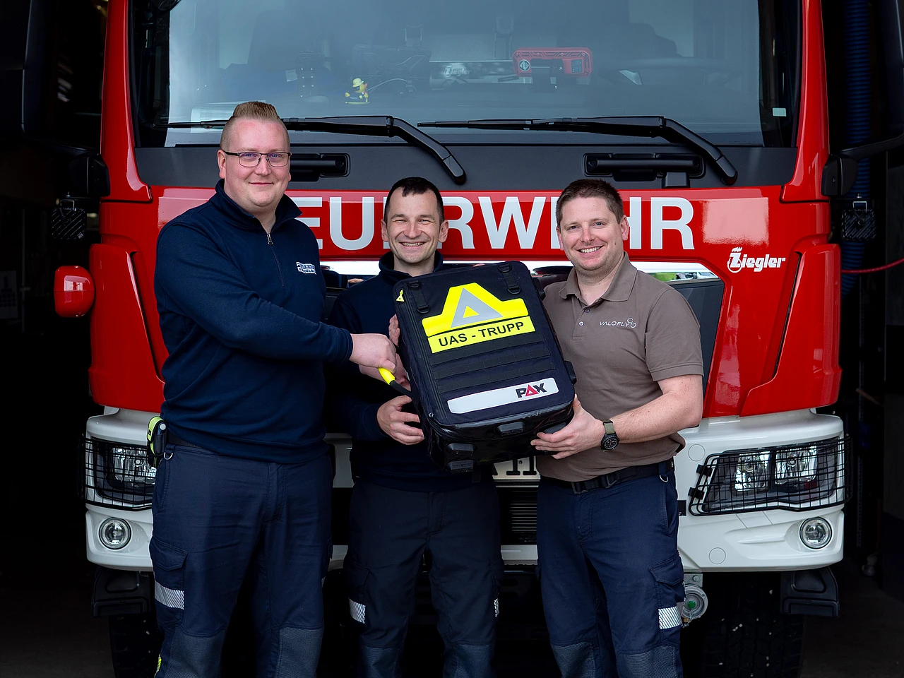
The year 2023 became surprisingly challenging at the end of the year. All that was actually left on VALOFLY's schedule was the Christmas holidays and then the completion of the inventory count. However, the weather had other plans and affected Southern Lower Saxony first, followed by large parts of Lower Saxony, with a flood. Since civil defense is part of our DNA and our managing director Daniel Stahlmann is active in this field as a leader of the rescue robotics unit of the Northeim district, the priorities for eight days were different from the initial plans.
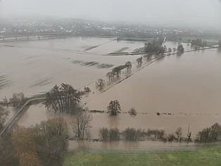
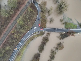
The task: The command staff in the Northeim district should be provided with situation reports that cover the largest possible area as up-to-date as possible. True-colour satellite imagery was not available due to cloud cover, and although the European Space Agency's (ESA) Sentinel programme can show bodies of water through cloud cover, the resolution would have been too low to make tactical decisions. The drone squad as part of rescue robotics group had recently been established, which is why there was a lack of sufficient resources. That led to a challenge in the situation of a the large flood, as the district of Northeim covers an area of 1,268.76 km² and is crossed by the rivers Weser and Leine.
In order to store and, above all, process the image data from three drone teams, VALOFLY GmbH provided processing power in addition to other resources. The drones have mainly flown mapping missions, which results in considerable amounts of data that later have to be compiled into orthophotos. The main advantage of this approach is the geographical referencing, which makes it easier for leaders to orient themselves on an image and to compare target and actual values with reference to other satellite images taken at normal water level.
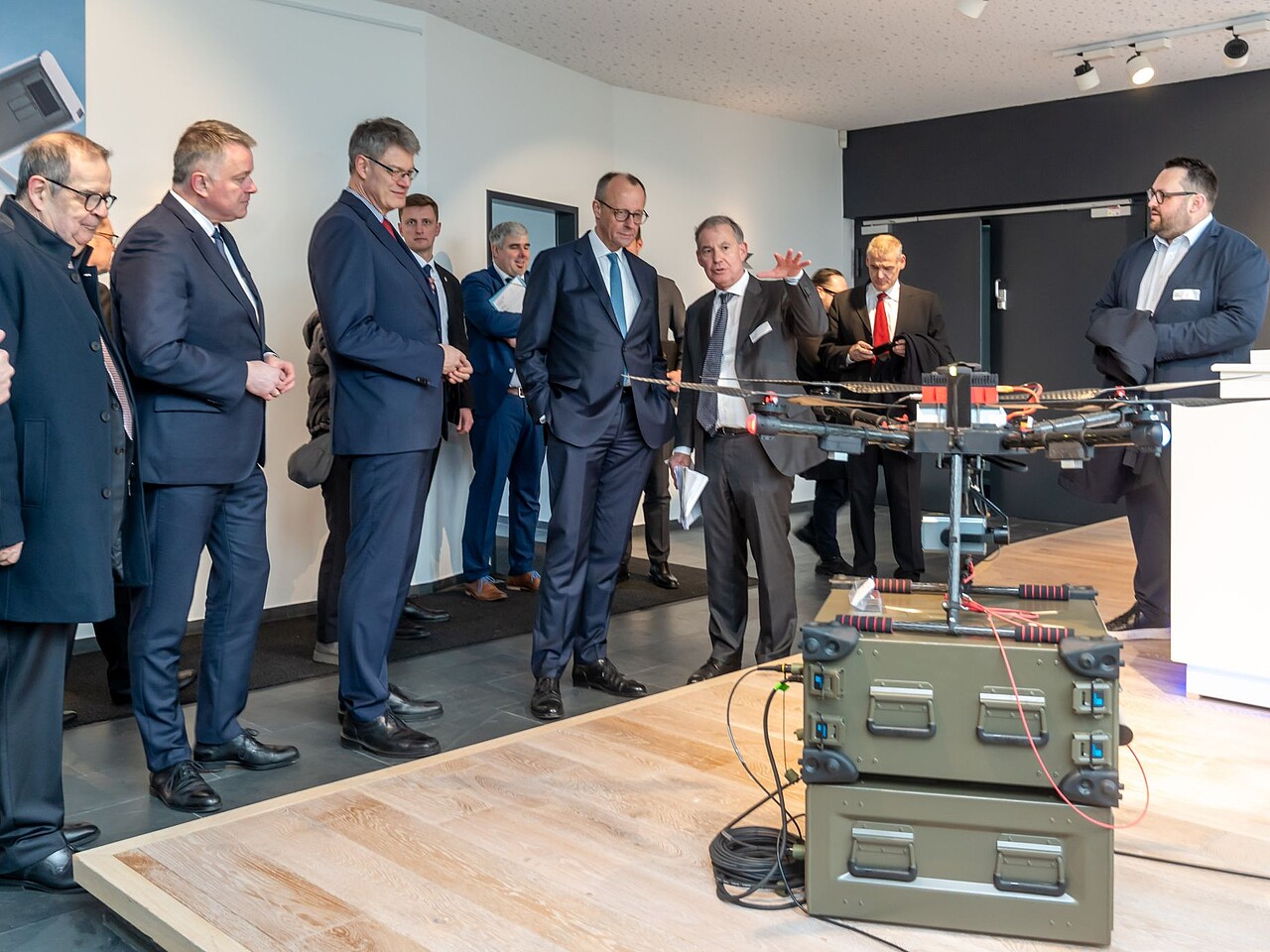
While the main fllod wave reached the Northeim district, it was considered to use tethered drones for constantly monitoring the water level in a certain area nearby the river Leine. The tethered drone kit, involving one of VALOFLY's rackTethers, did not have to be deployed after all, as the flood wave moved to regions downstream.